Referred to as “Four Corners” in Woodside, California in the Santa Cruz Mountains, you can get food and refreshments and enjoy rolling art. This is the place where motorcyclists and sports cars like to stop while enjoying weekend rides through the mountains. And, you can see some other creative art here, too.
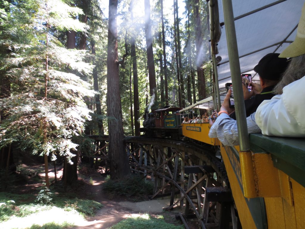
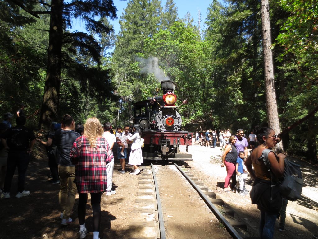
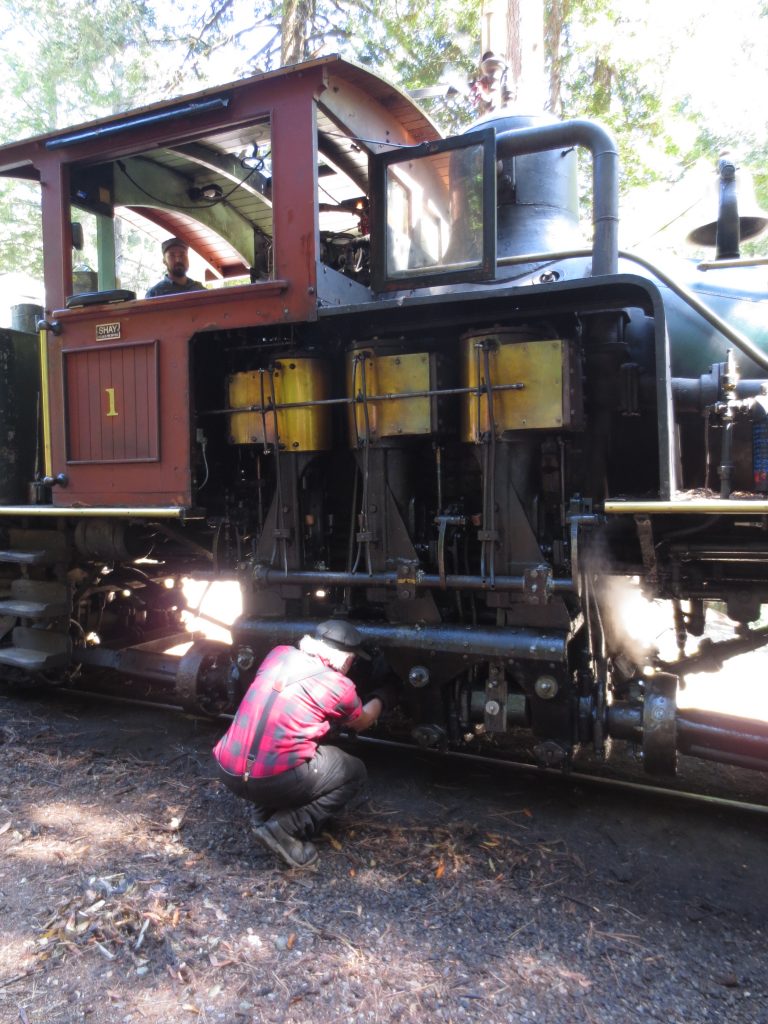
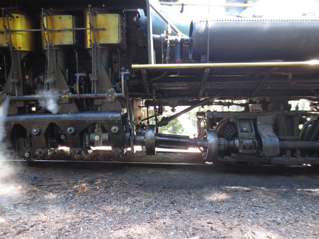
You can still ride steam engines in the Santa Cruz Mountains and explore the redwoods at Roaring Camp. You can walk around the shops at the train depot and then enjoy the beauty of the nature around you as you travel through the woods.
There is something about train rides like these that are pretty exciting.
And you can experience the ride of an all wheel drive steam train engine designed to cary loads through steep terrain.
The oldest running amusement park in California, is the Santa Cruz Beach Boardwalk. In operation since 1907. It’s also a nice enjoyable place to hang around, especially with kids. There are free concerts and movies on the beach during summer, rides and games and food, and a neat feeling to walk around enjoying the ambiance. I like that you don’t need to pay to get in the park and walk around. You pay for rides and food and games, though you don’t pay to just walk around and enjoy the ambiance.
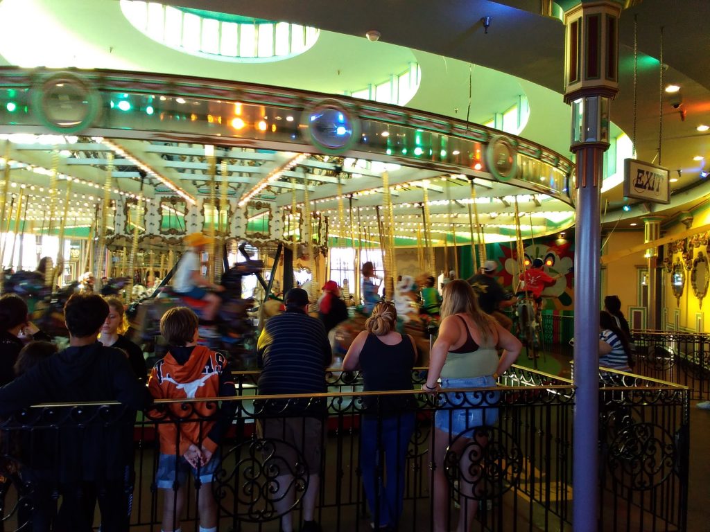
This carousel, older than the park itself and added to the Board Walk in 1911, is one of the rare carousels still operating that has a brass ring dispenser and target. Riders get to grab a ring as they go around and then throw it at the clown face, attempting to get the ring into the mouth as they go around. The ride then also becomes a game for those sitting on the outside horses.
That excellent wooden roller coaster in the background is the Giant Dipper. It will be 101 years old this year. It is the oldest operating roller coaster in California and one of the oldest in the world. It’s what you see to know you are almost at the Board Walk when walking or driving in.
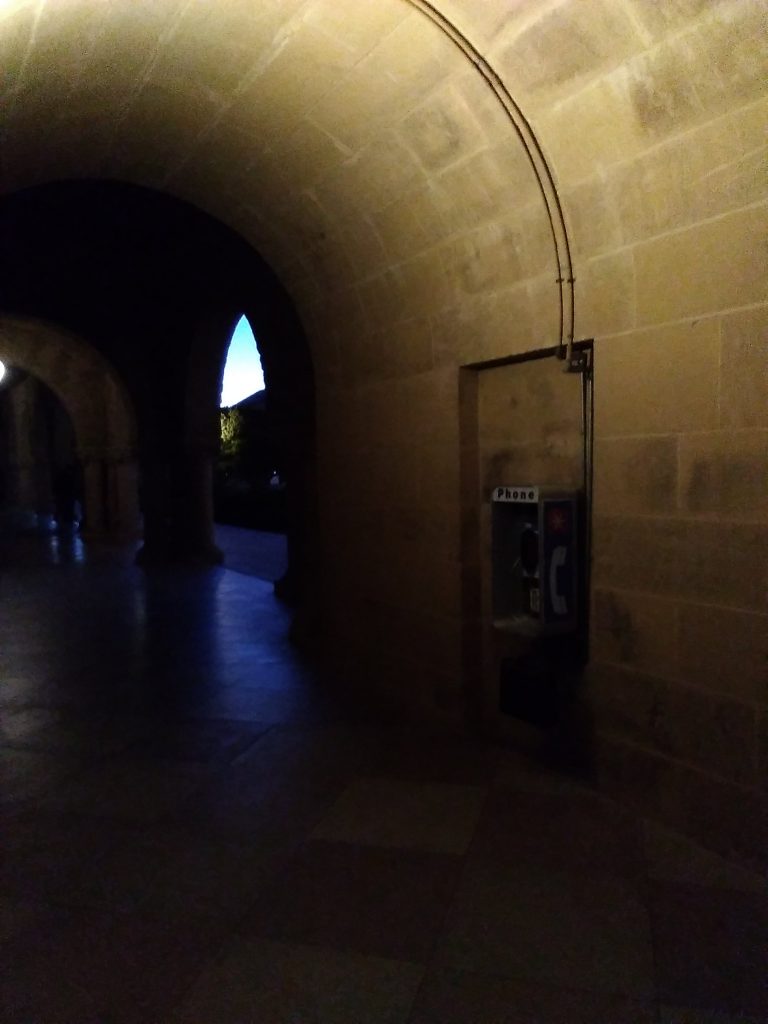
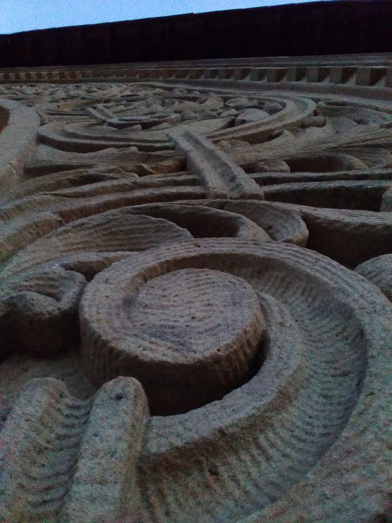
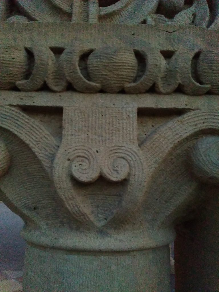
That is pay phone, in a stone hall, at Stanford University. I wonder how often it is used these days. Photo taken by a flip phone of the kind that came along to make pay phones far harder to find starting several years ago.
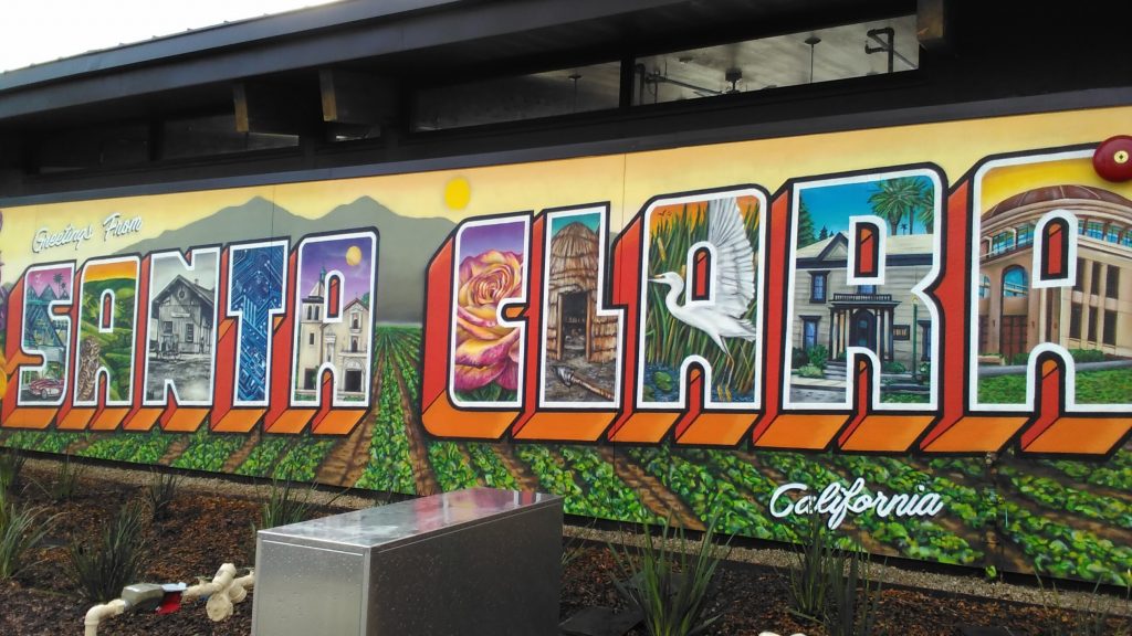
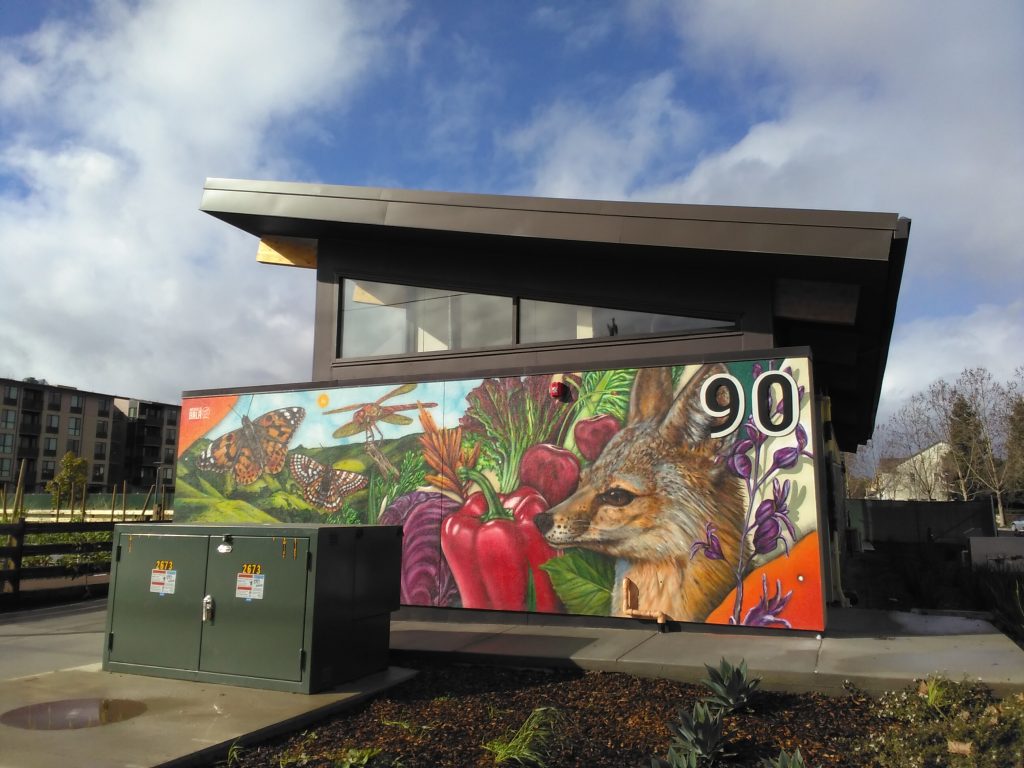
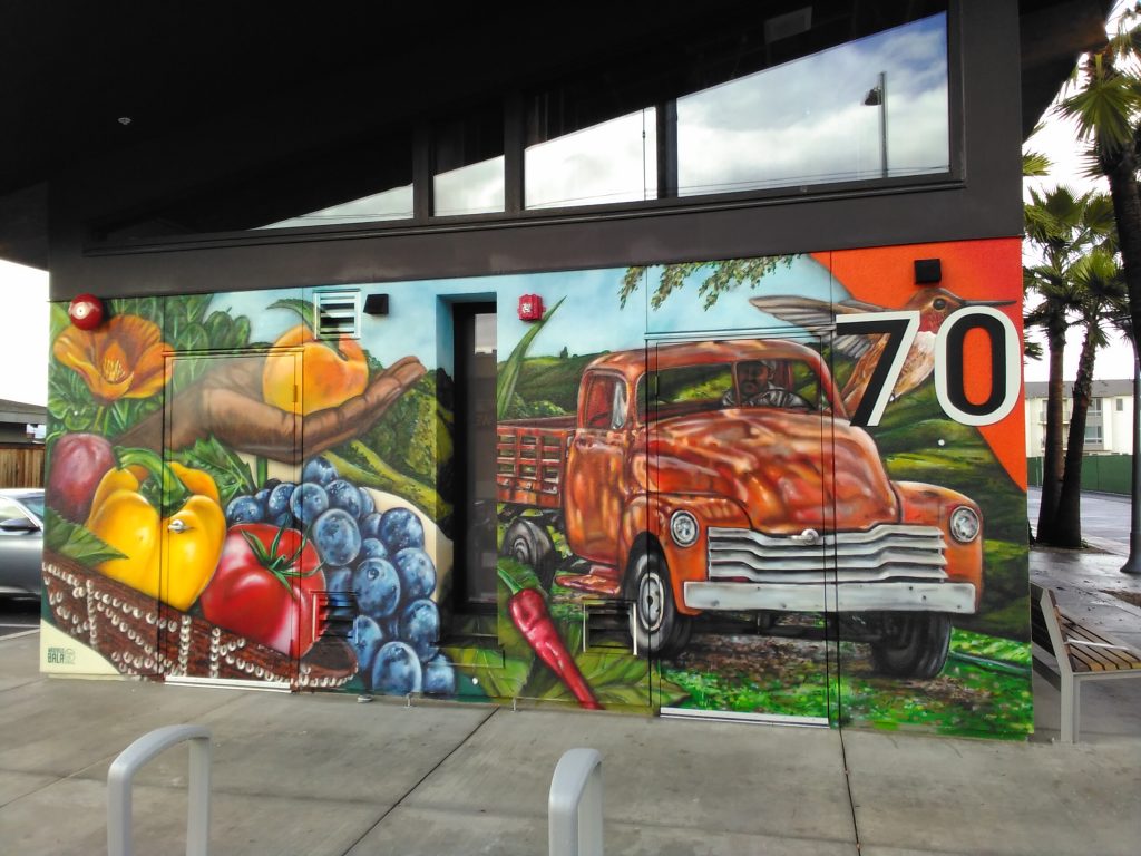
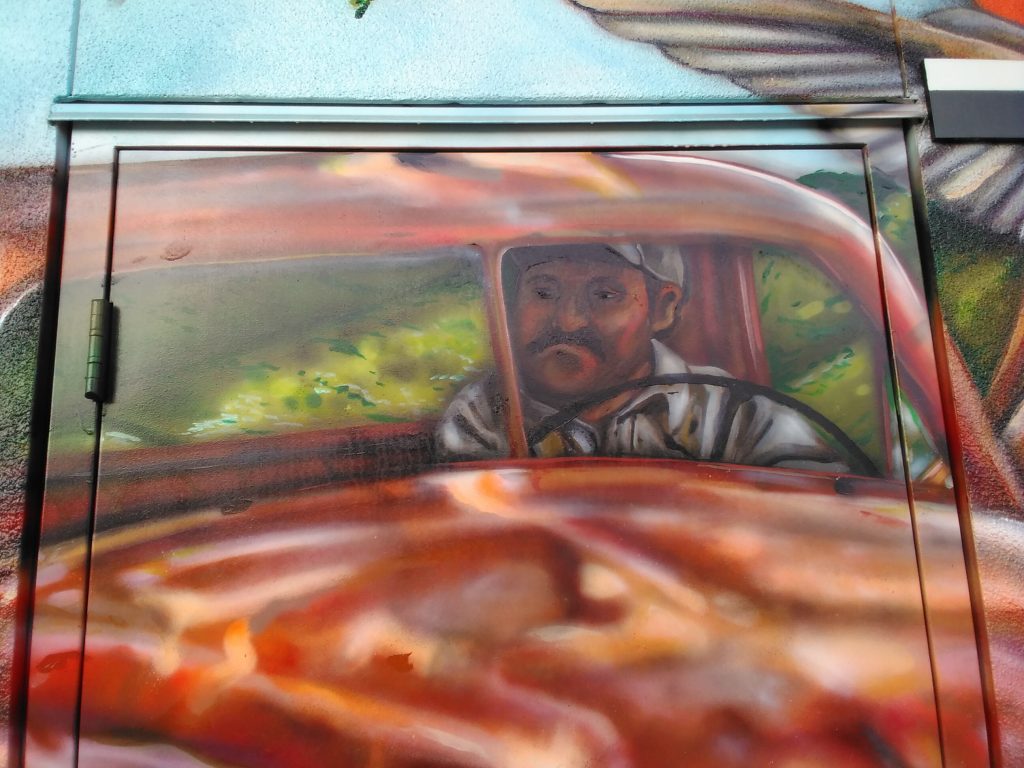
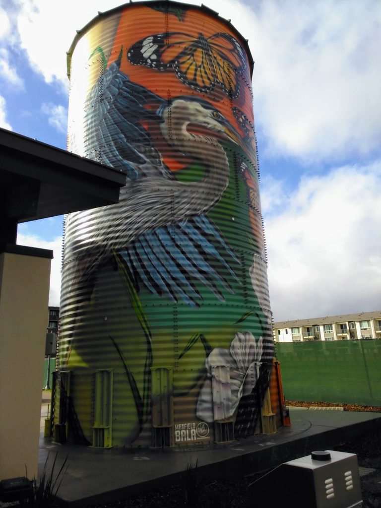
There are several murals at a housing development being built in the city of Santa Clara at the San Jose border next to Valley Fair Mall. These murals are by Maxfield Bala Creative mural company (https://www.maxfieldbala.com/).
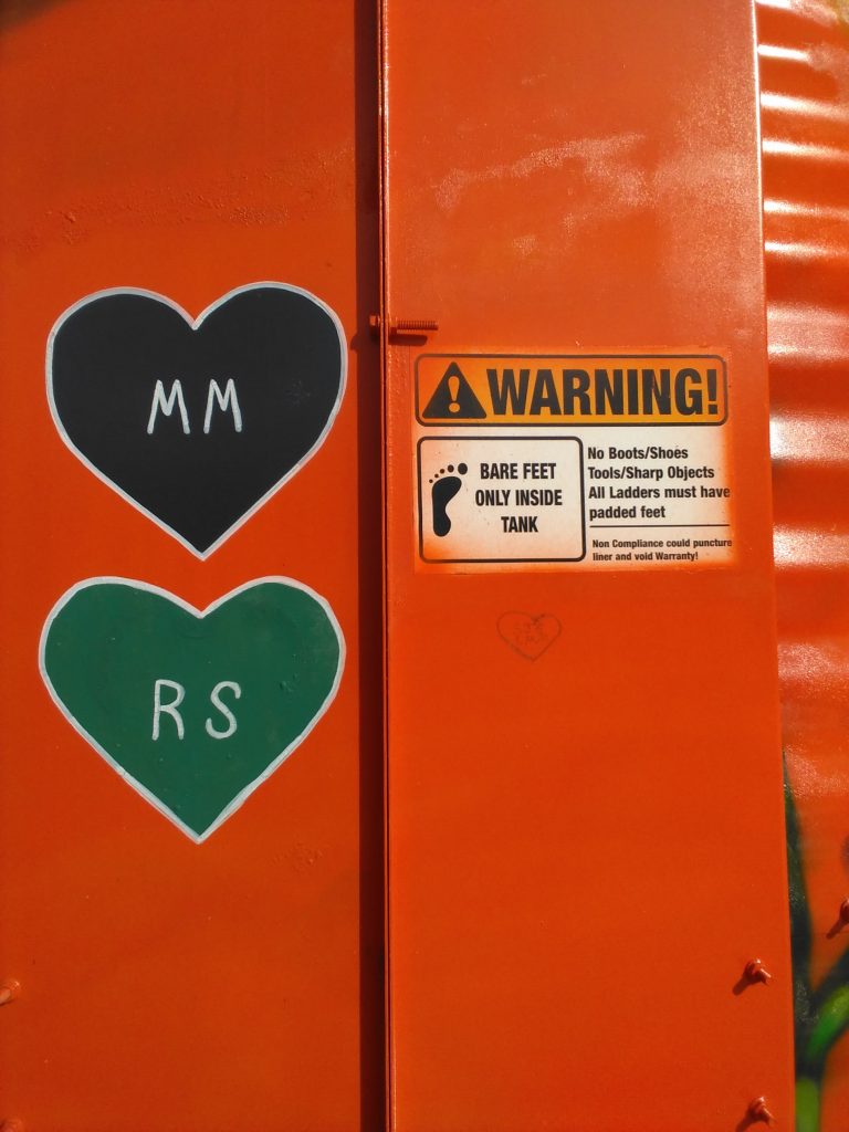
I love to walk around in bare feet. And I am use to seeing signs that say you must have shoes to enter a place. This, however, is the first sign I have seen that says you must have bare feet. It is on the side of the painted silo.
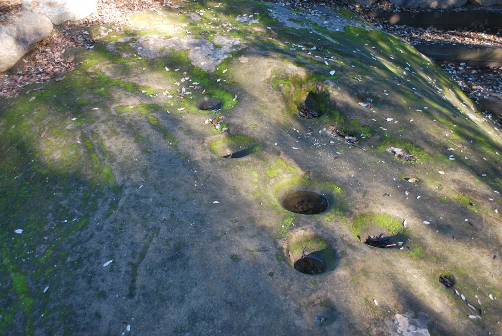
Bedrock mortars at Chitactac-Adams Heritage County Park. People used these to grind foods for thousands of years here as this particular area was inhabited for at least 3,000 years and probably longer. The mortars are right there to appreciate on a walk around the park. There are so many in various spots. I enjoy thinking about these, and the people who used them, and their descendants living in the Silicon Valley and other places today.