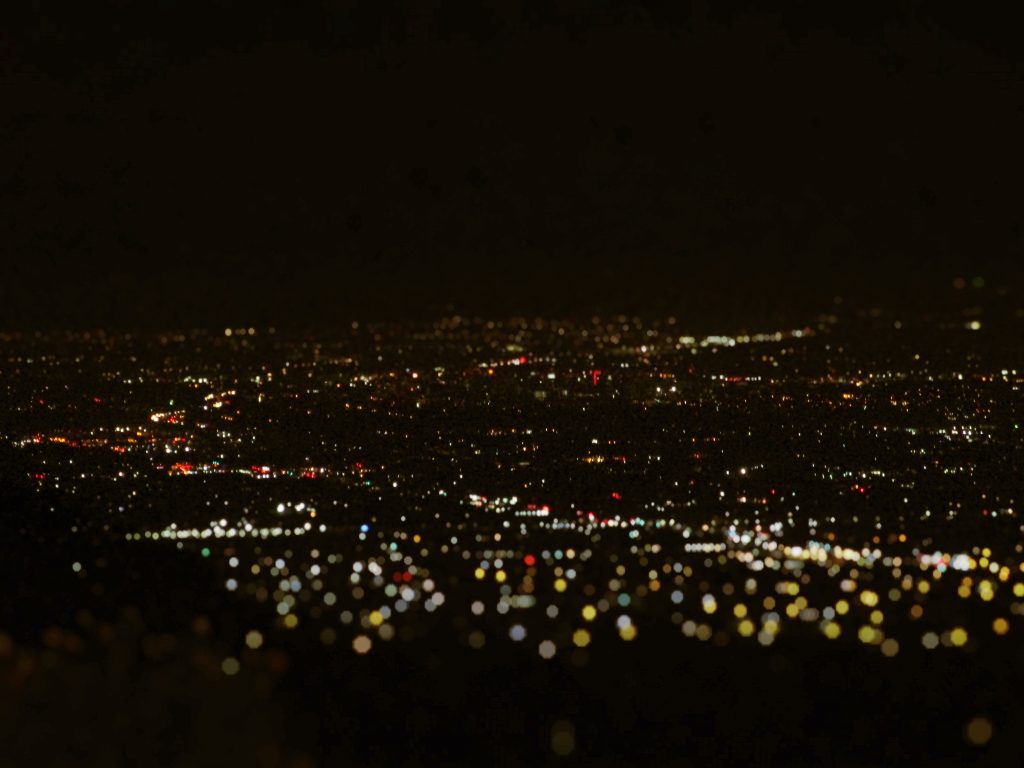
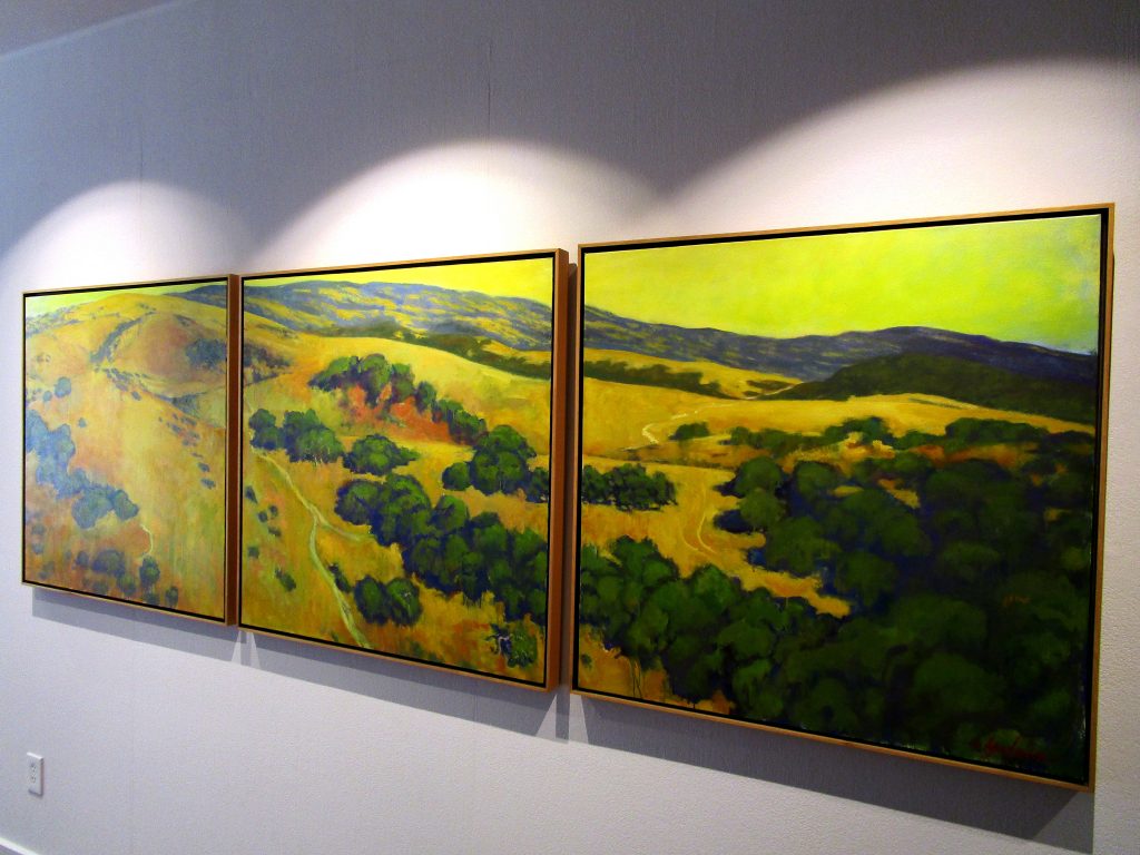
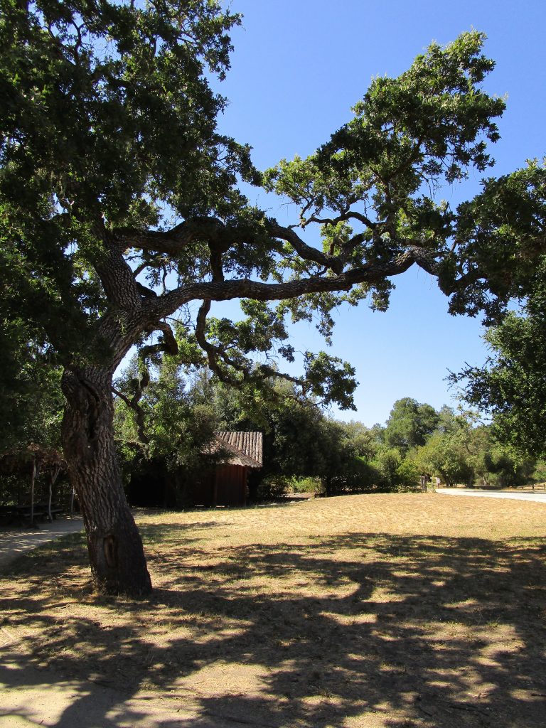
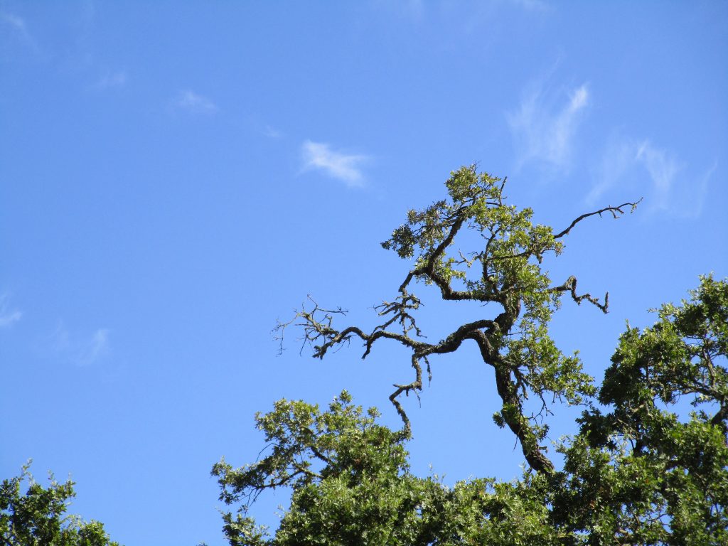
Looking over San Jose, a little ways up the side of Mt. Hamilton, is a wonderful restaurant with a mighty Grand View of our city and valley. The food, the experience, the view, the smells of nature, and the smells of everyone’s food as it goes by, the time to contemplate the world before us, the room and the beauty for ones mind to expand within… wow; presence on that patio is an amazing opportunity. And after a wonderful experience, you may even take the chance to practice night photography after an evening dinner on that patio. While this photo is more narrowly cropped, from the Grand View restaurant you will see the entire Silicon Valley.
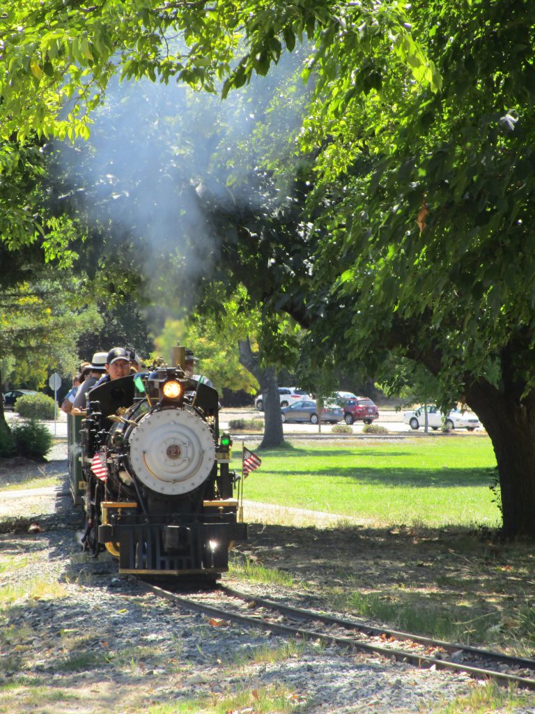
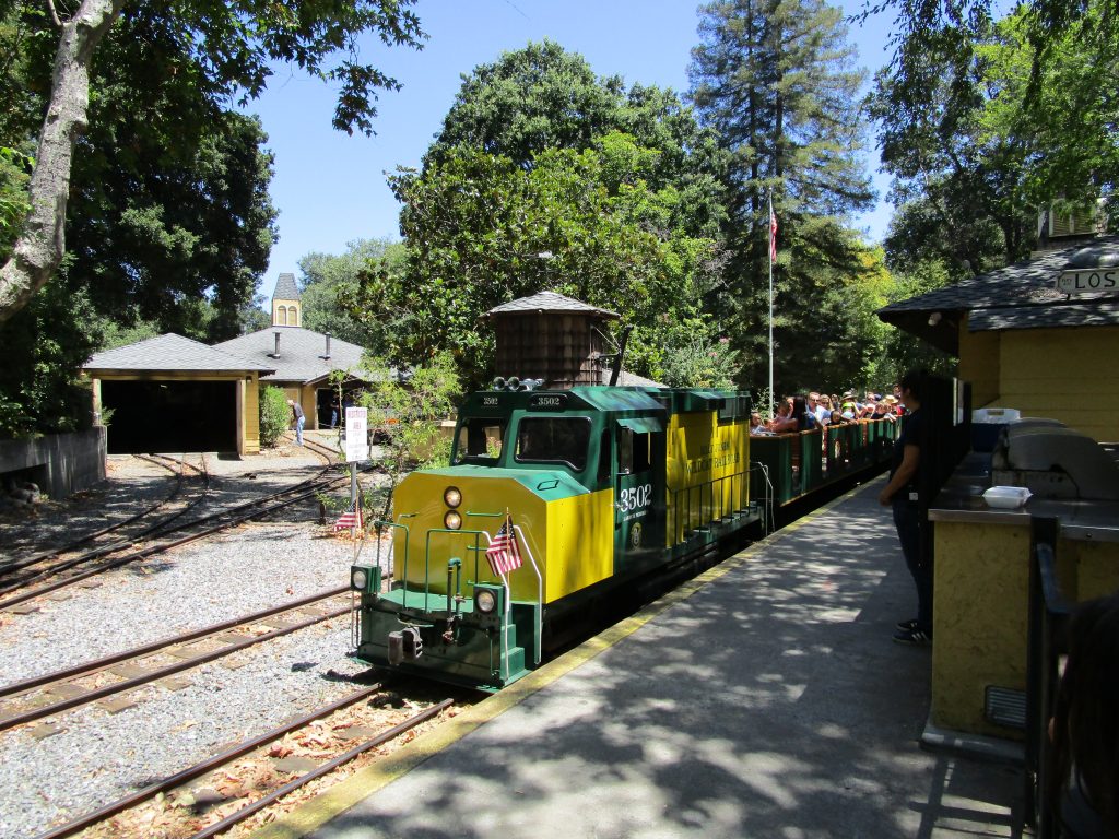
Not far from San Jose in Vasona County Park, there is this special train, “The 2 Spot.” This steam powered train was built in 1905. Yeah, over 100 years ago. Number 2, a one third scale steam train, began running in Venice Beach, California. After several years of service, it eventually found itself in a junk yard where local railroad worker Billy Jones found it in San Francisco bound for a scrap yard in 1939. He purchased it, restored it, and ran it for free for children to ride on Sundays around his Los Gatos farm for the rest of his life.
After his passing in 1968, friends and neighbors created a non profit to move it and keep it going at nearby Vasona Park where it continues to run today. It is pretty cool to ride this train and kids love it. The attraction to the tracks is great and so there are now five trains working to help spread the work load. Number 2 comes out mostly on weekends during the summer months. All of the trains are interesting so it is a treat to see and ride any of the four that are there to pull visitors for only $3 a ride.
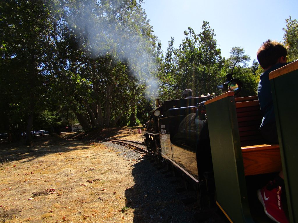
I like to get excited about all of the trains but find it especially exciting to ride number 2, this bit of history from 1905 that has carried children and adults for decades. I love when it chugs hard to move up the gradient of the park. Walt Disney heard of this train and visited Billy Jones before Disneyland was a reality. They became friends. The logo, still used today, for the Billy Jones Wildcat Railroad was designed by a Disney animator. Billy himself was there at the opening of Disneyland to run their train on July of 1955.
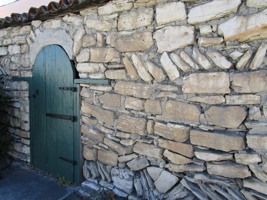
Property entrance built in 1832 across the street from Friendly Plaza.
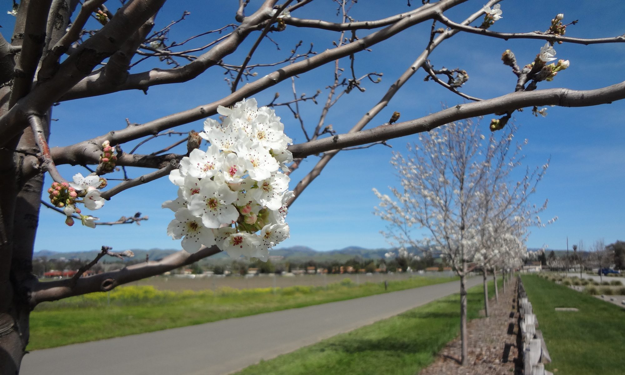
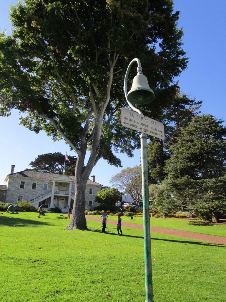
Monterey is a little over an hour by car and well worth the drive, which is itself a pleasure. For those interested in San Jose history, it is impossible not to get excited about several of our nearby cities that are as wound up in the history of California.
Monterey is one of those important cities in our California history. Like San Jose, this is a city that one could spend a lifetime visiting, learning about, and photographing with great satisfaction.
Colton Hall.
Pictured above is Colton Hall in the Friendly Plaza. In this building the California Constitution was written in 1849. It stated that San Jose would be the state capitol, was written in English and Spanish as a bilingual constitution, and led to California becaming the 31st state in 1850.
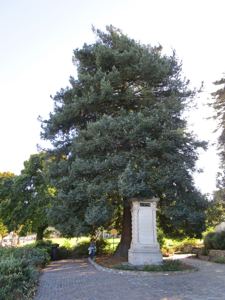
Moon Tree in Friendly Plaza.
500 seeds comprising four species of trees were sent in orbit around the moon with Apollo 14 in 1971. When they returned, some of what became known as Moon Trees were planted alongside similar trees for research, some were given to states or countries as gifts. In 1976, many were given to cities and states with appropriate climates for the various tree seedlings in order to celebrate the bicentennial of the USA. The Moon Tree pictured above is one of these 1976 trees. In the bay area, the nearest two Moon Trees are in Monterey and in Berkeley. For comparison of two very different earth species, the human species woman visiting the Monterey Moon Tree in the photo above was born in 1976 when the Coast Redwood species Moon Tree next to her was planted.
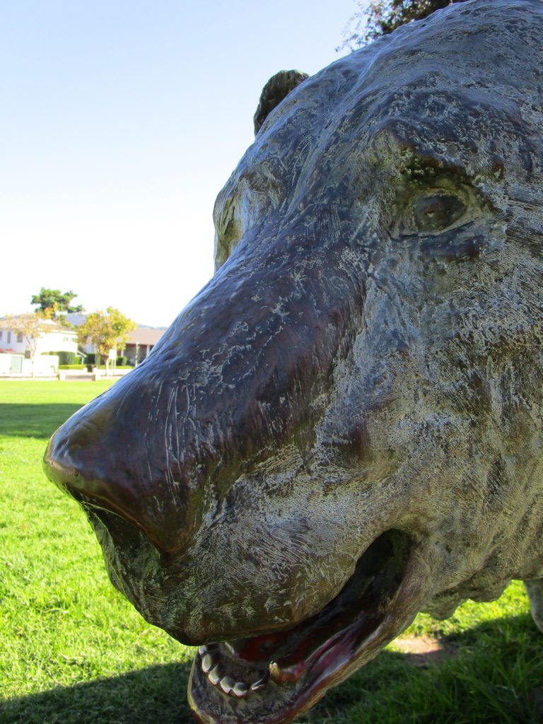
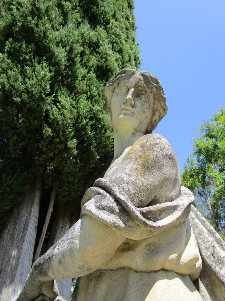
Bear statue in Friendly Plaza.
One interesting thing about bronze statues is that you can always tell where people are drawn to touch them most by the clearing of any natural tarnishing. For this bear, it is clearly the teeth that people are drawn to touch. It took my youngest child all of seconds before placing a foot in the bear’s teeth and asking me to take a picture.
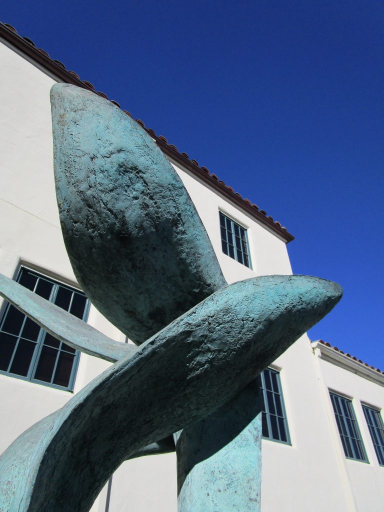
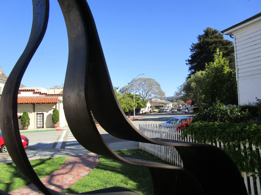
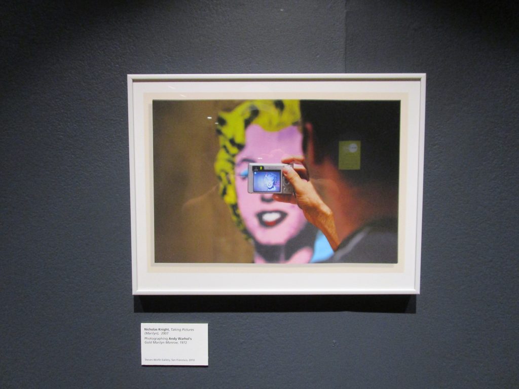
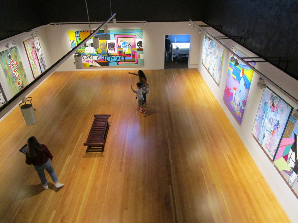
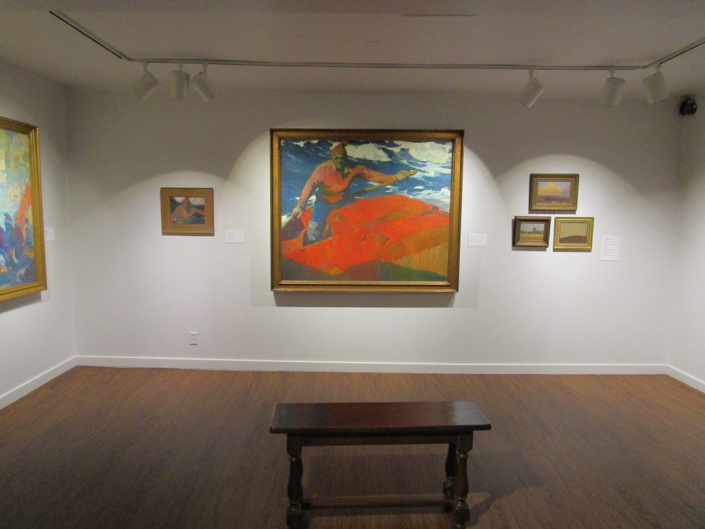
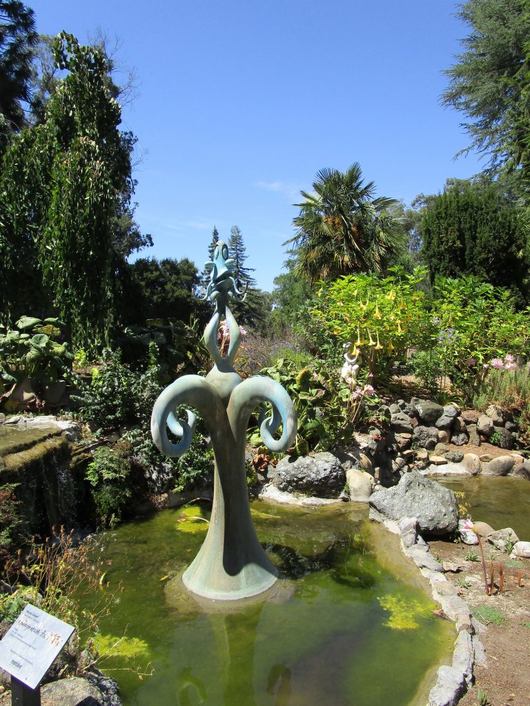
Across the street from the Friendly Plaza is the Montery Museum of Art. Below are a few of the treasures located there.
Monterey and Monterey Bay are incredible locations for discovery. The factors that brought people here for thousands of years continue to influence the lives of the people and continue to draw me to learn and discover more with great appreciation.
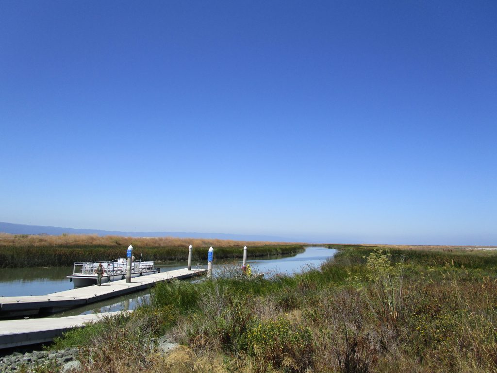
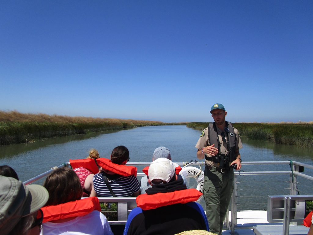
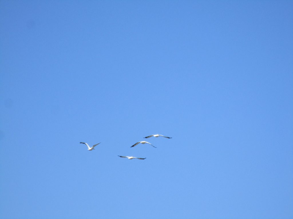
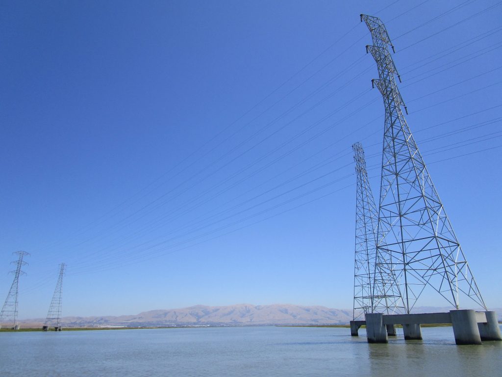
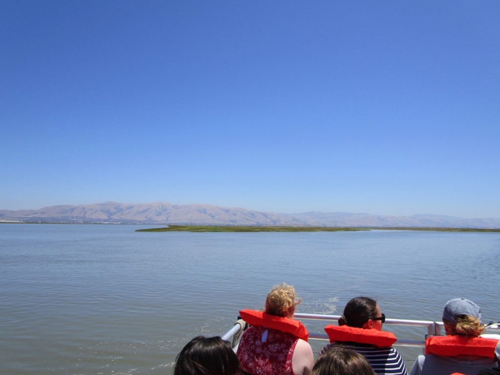
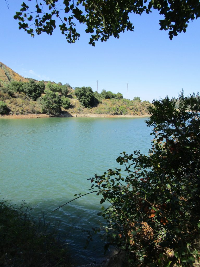
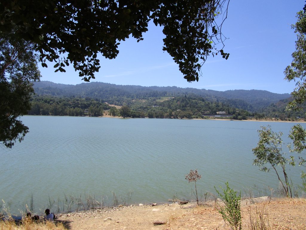
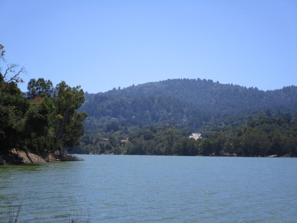
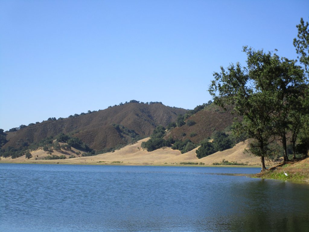
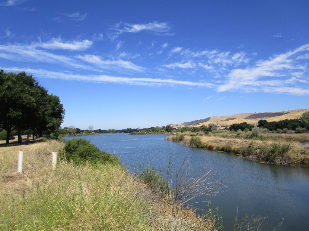
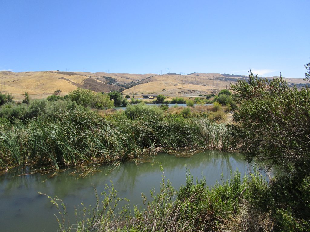
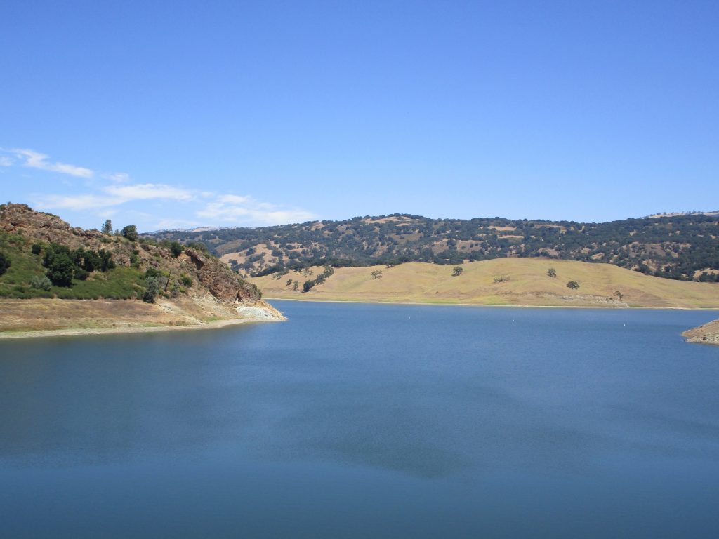
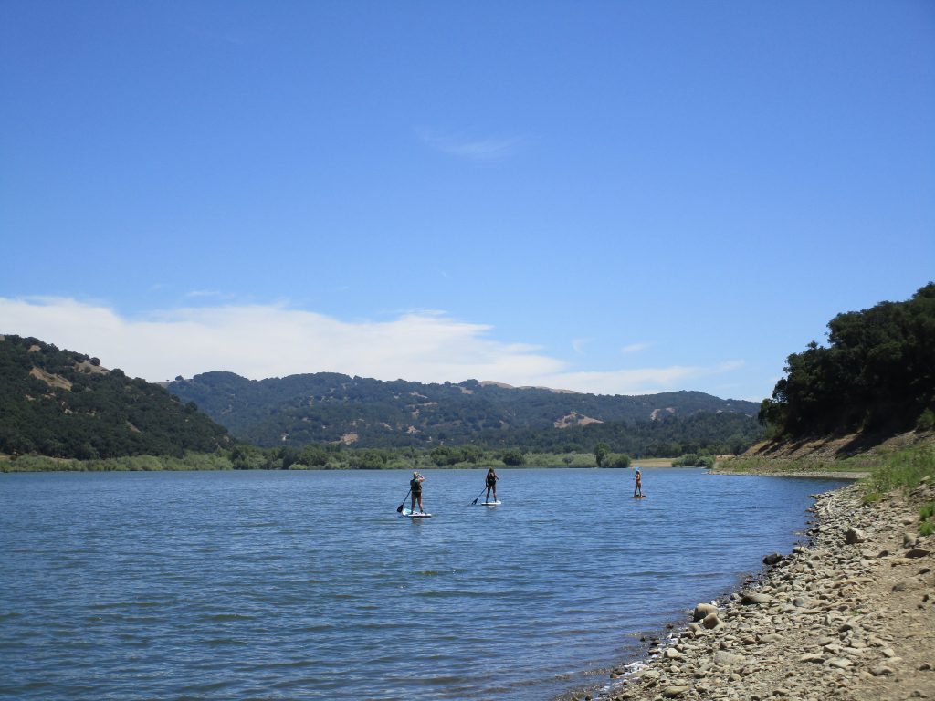
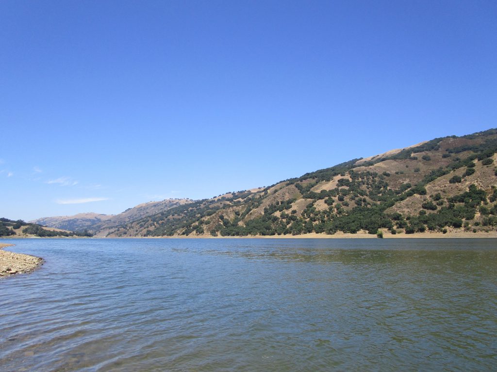
The Salt Marsh Safari is free, though you have to sign up for tickets online in advance. The hour and a half boat ride through the Alviso slogh, which is the Guadalupe River flowing through the marsh lands on its way to the San Francisco Bay, comes with county park staff to guide the learning.In the San Francisco Bay, looking south east. Flowing towards us from the left comes the Coyote Creek water as it mixes with the Guadalupe River water coming in from the right. In other words, this is all water that has already flowed flowed through several of the county parks we have been visiting.
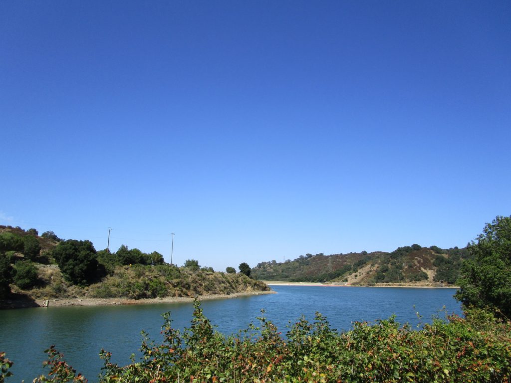
Ed Levin County Park
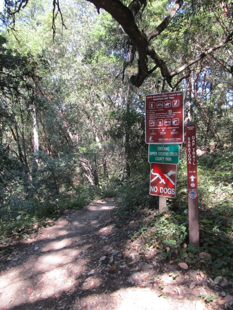
Penitencia Creek County Park
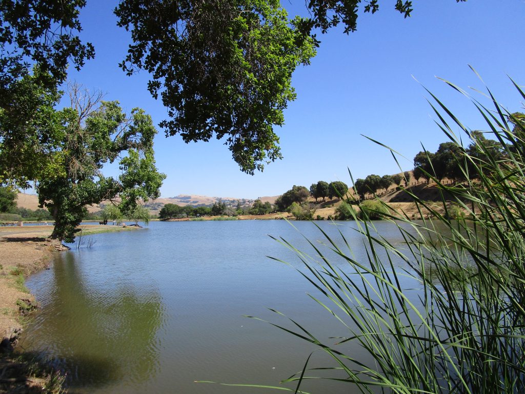
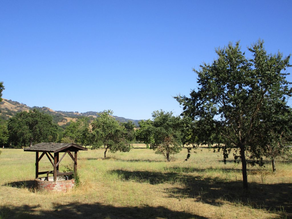
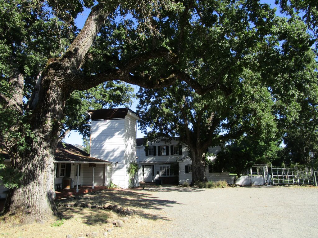
Joseph D. Grant County Park
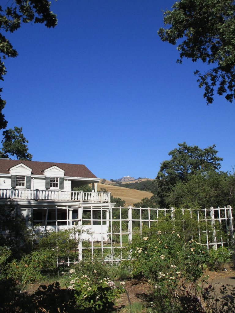
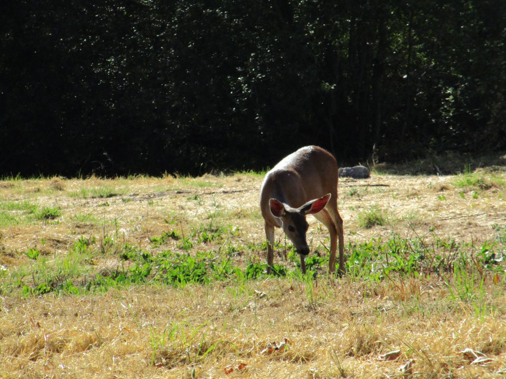
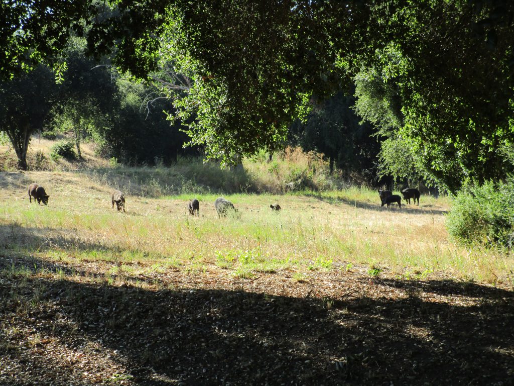
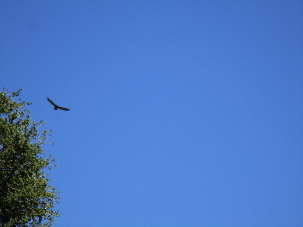
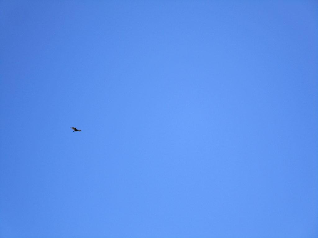
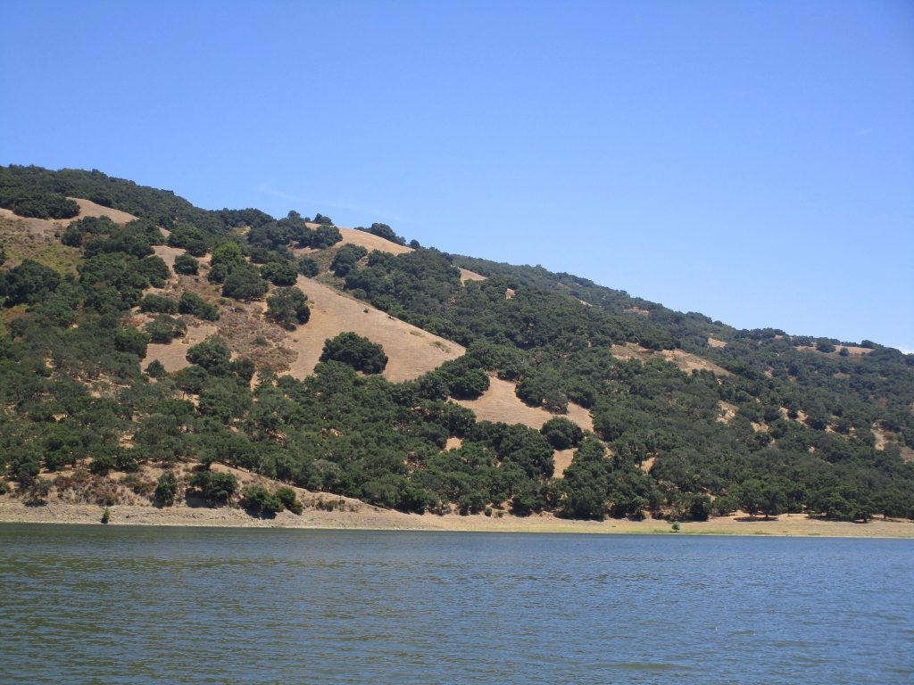
Lick Observatory from the ranch house garden. So many humming birds in here.Black-tailed deer.A family of nine wild boar. This day had so much wild life!Turkey Vulture above. There were also countless wild turkeys on the ground.
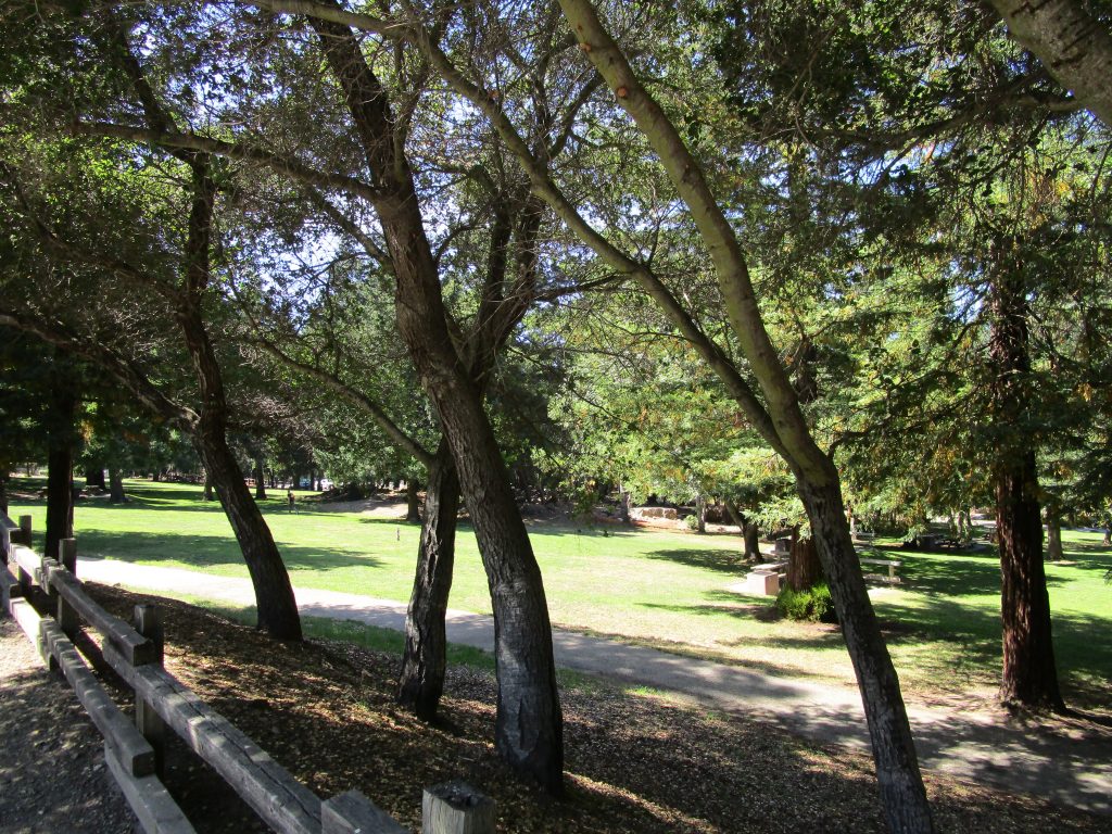
Hellyer County Park
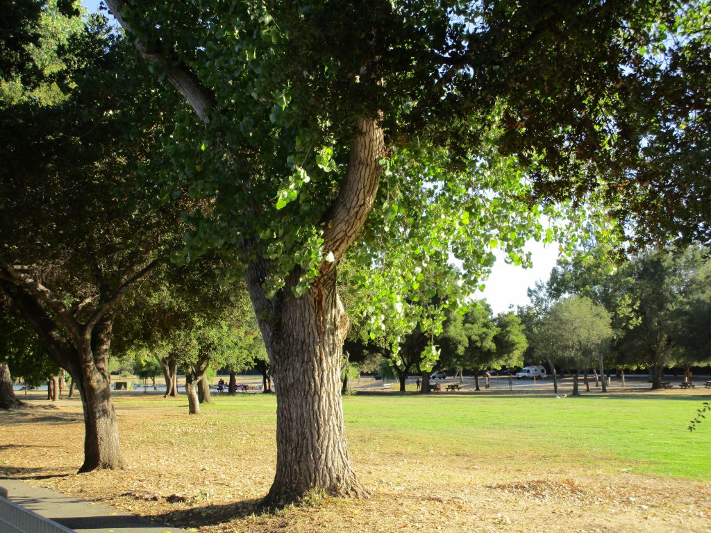
Martial Cottle County Park
Wow. That was all 28 Santa Clara County Parks. That was a great adventure for us. We saw so much wildlife, so many reservoirs supporting our drinking water, played and explored in some of our favorite places, found new places, and learned much. In fact, I continue to learn as I research the parks we visited and things we read, saw, or heard from park rangers and other visitors.
Visiting them all, one after the other, was an arbitrary challenge I came up with… And it turned out wonderfully… And it became a sweet and memorable family experience.
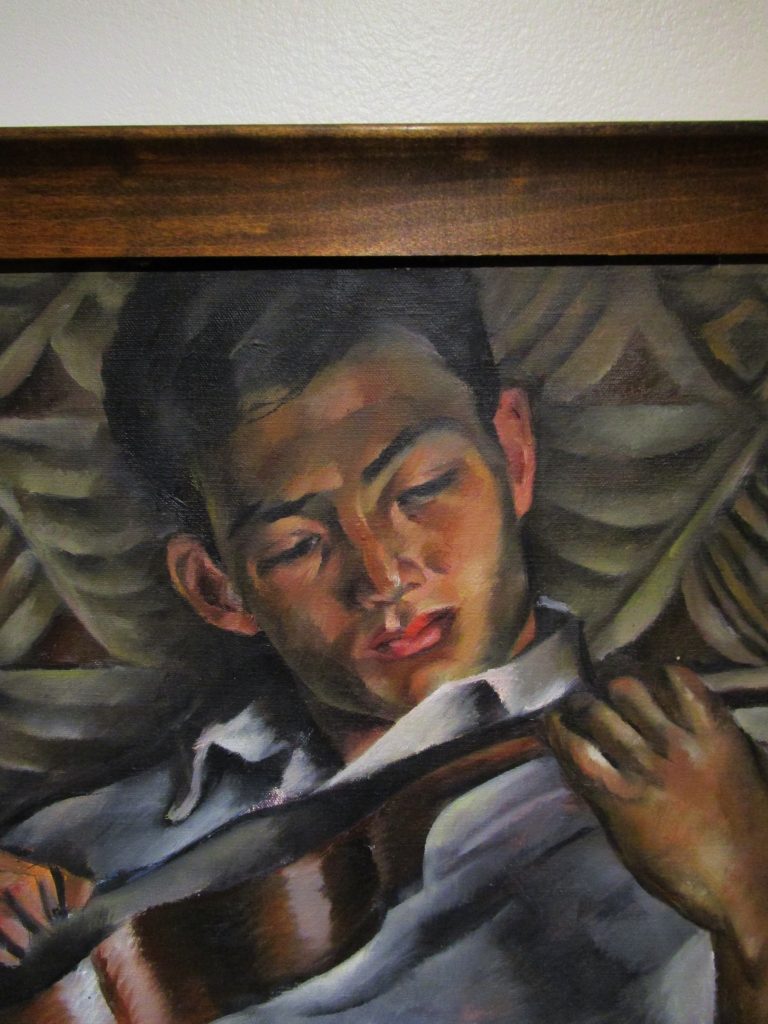
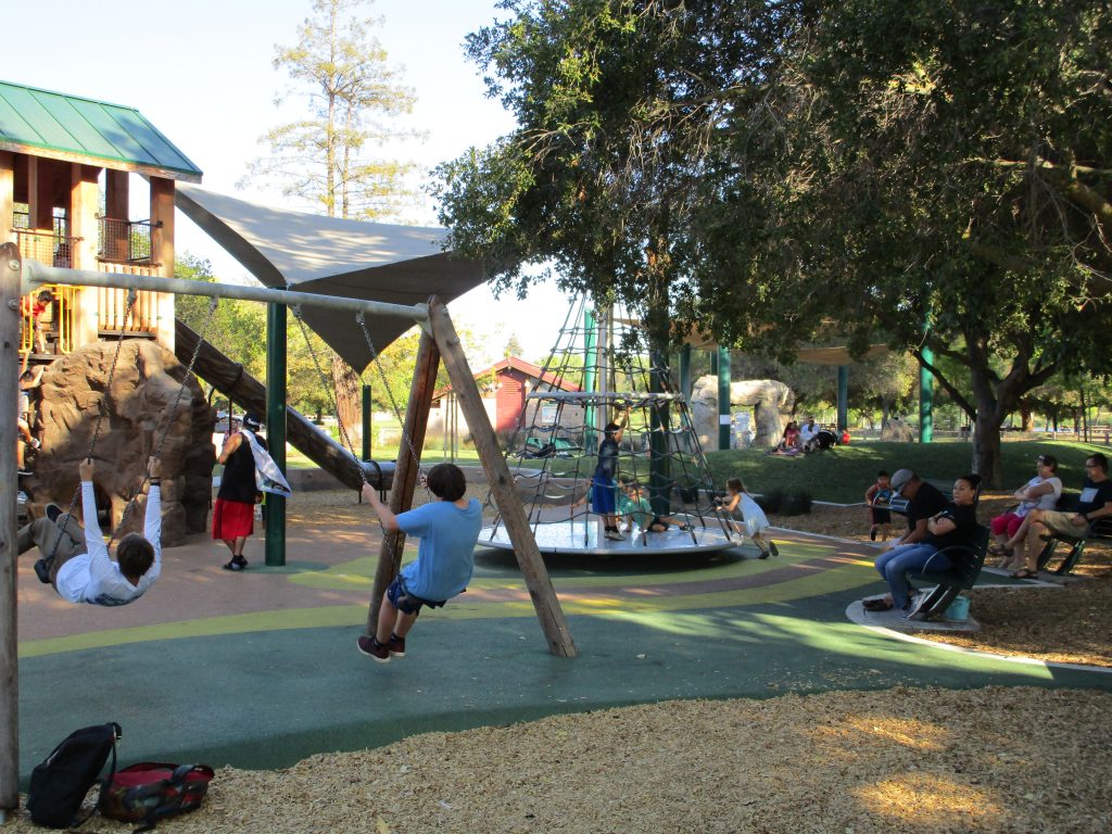
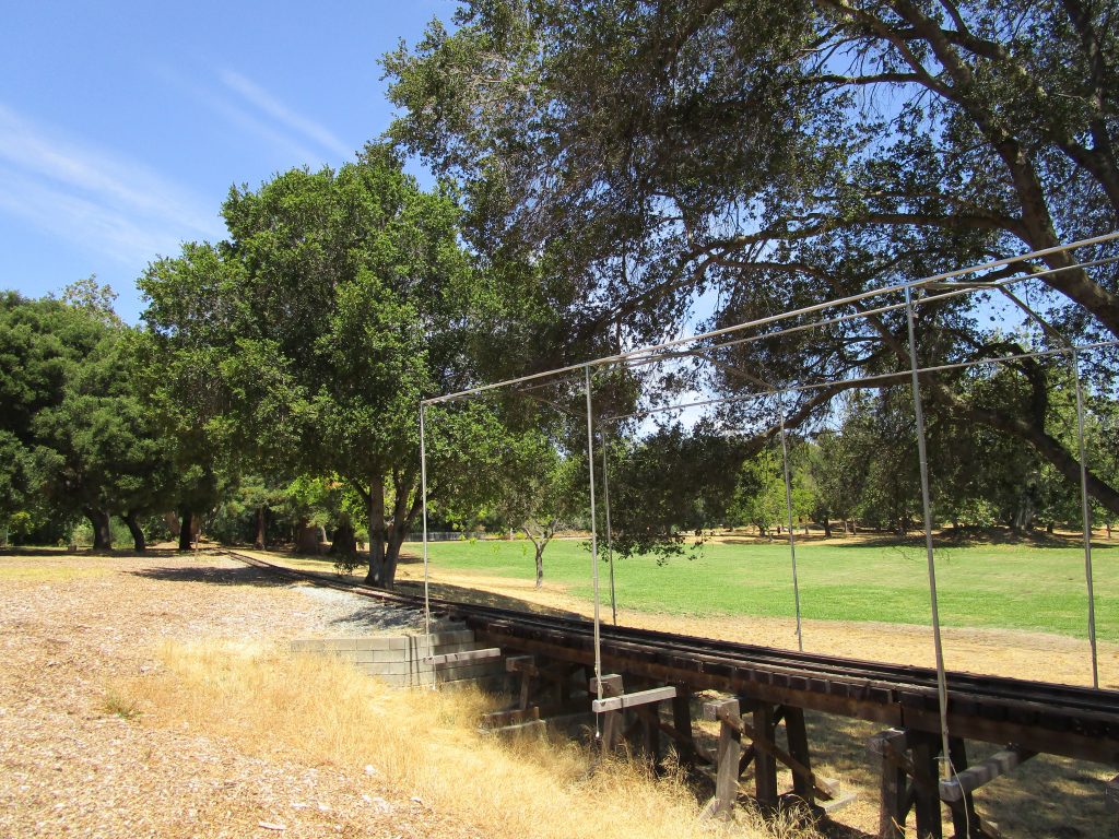
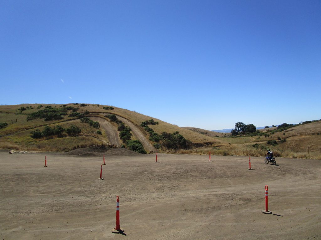
Technically, the train station pictured here for the one-third scale train is in the city park adjacent to the county park, though most of the track runs through the county park.
The arbitrary mission I assigned myself was to pack lunches, snacks, water, and kids into a car and visit, or revisit, each of the 28 Santa Clara County Parks within a few days. I don’t know how arbitrary missions and the accomplishment of them can be so satisfying, but it was a wonderful adventure.
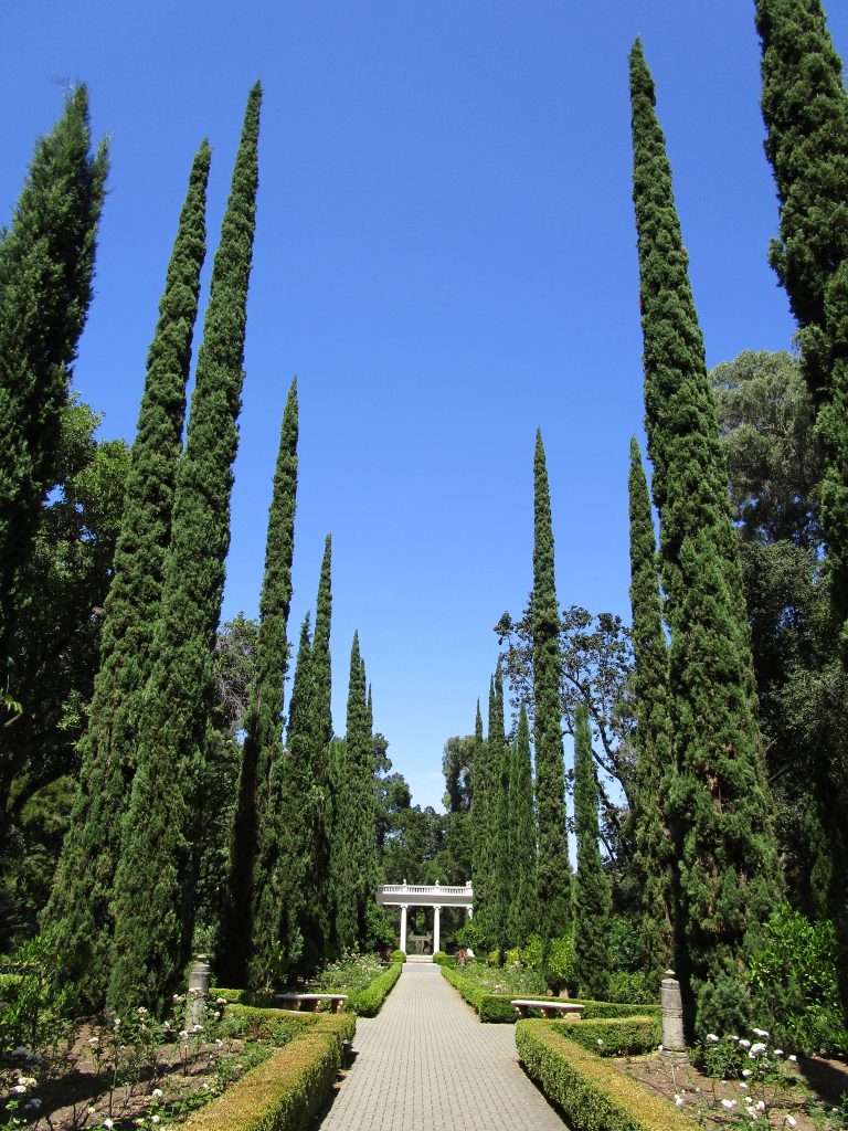
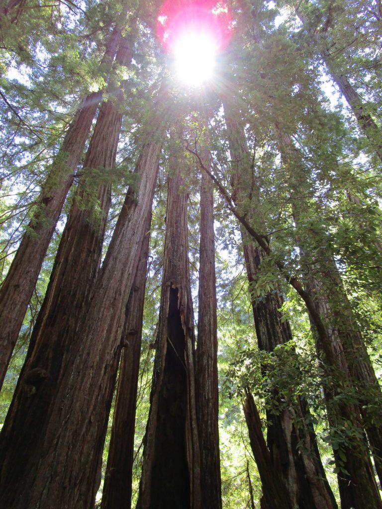
The first California State Park, it opened in 1902 to protect old growth forest in the Santa Cruz Mountains. In the beginning it was known as California Redwood Park and changed its name to Big Basin Redwoods State Park a few decades later.
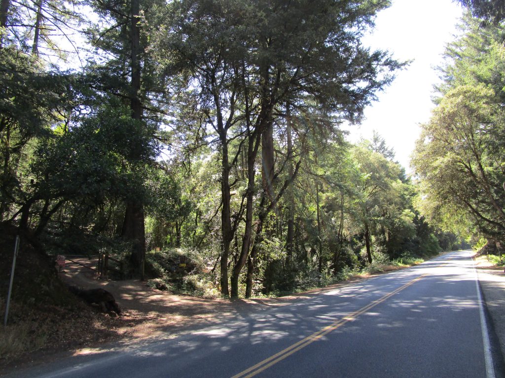
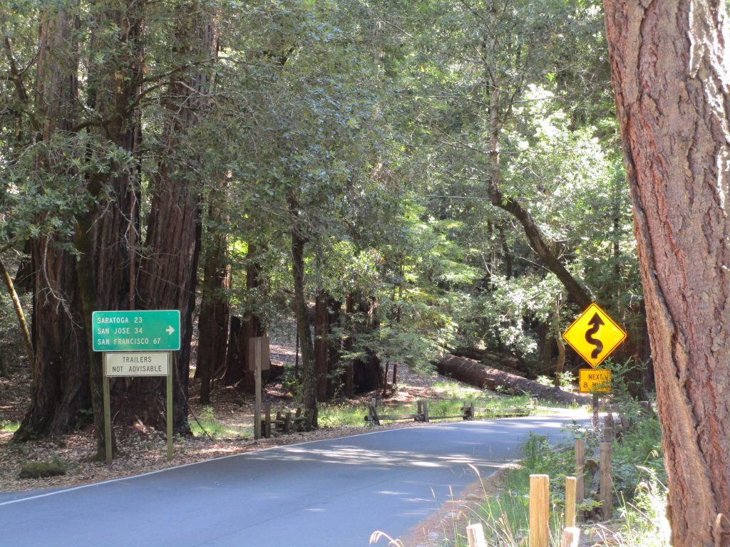
About 20 miles from San Jose through the air, the beautiful winding roads make it about 34 miles of great driving.
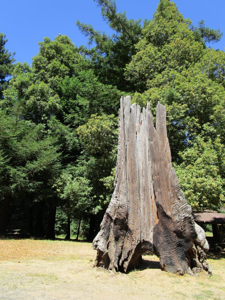
Many of the old growth redwood trees here are over 1,000 years old. Wow!
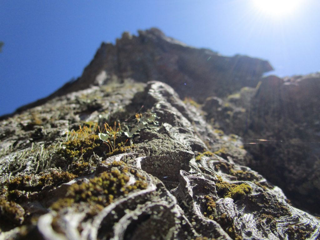
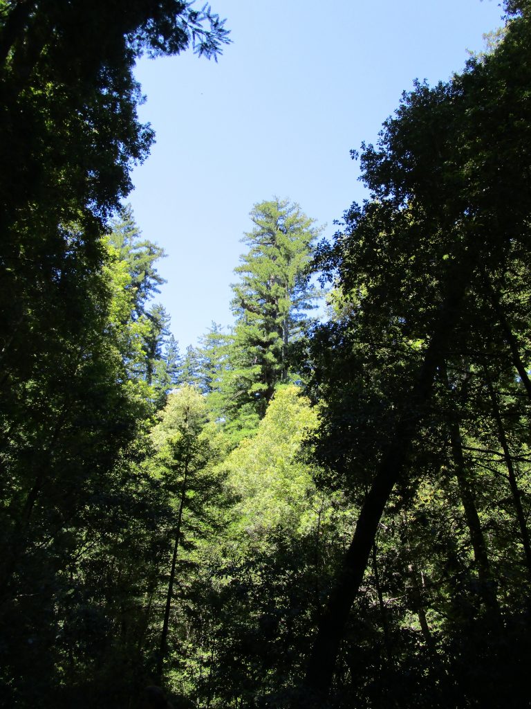
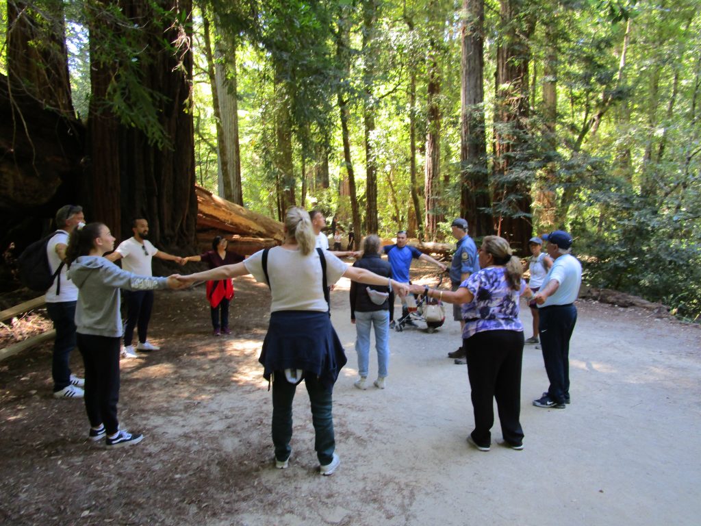
That tall tree in the center of the photo, out in the sun, is believed to be about 2,000 years old. So, it was there close to year 0.Local resident and docent Barry led a tour. Here on a trail a group of 12 at arms length estimate the circumference of one of the older trees in the park.
Much of the credit for the creation of the first California State Park goes to a San Jose photographer named Andrew P. Hill. All of these years I had heard of Andrew Hill high school in San Jose and never thought to ask who he was. Now I know. Andrew Hill was amazed at the sight of the old redwood trees, tallest trees on earth and able to live over 2,000 years. Through his photography and connections, he supported the preservation of these special forests. He led excursions of influential people to the trees that led to the funding and legislation that secured our first state park. Today, there is approximately 3% of the old growth redwood forests remaining in California and most of that is now on protected state public lands.
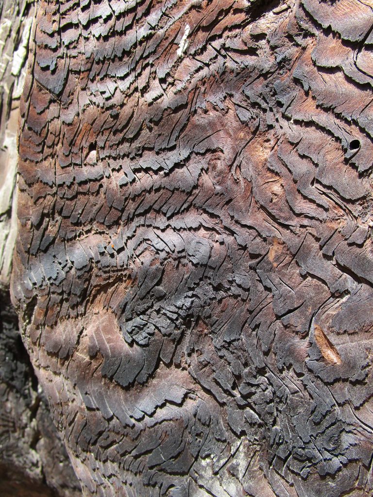
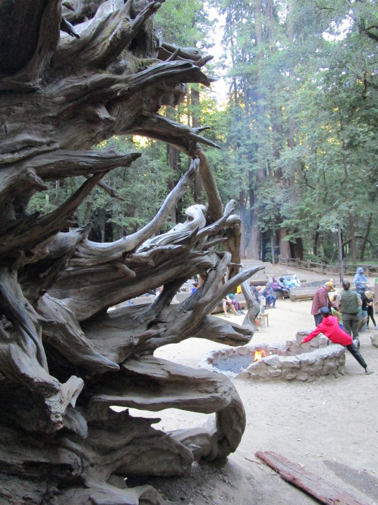
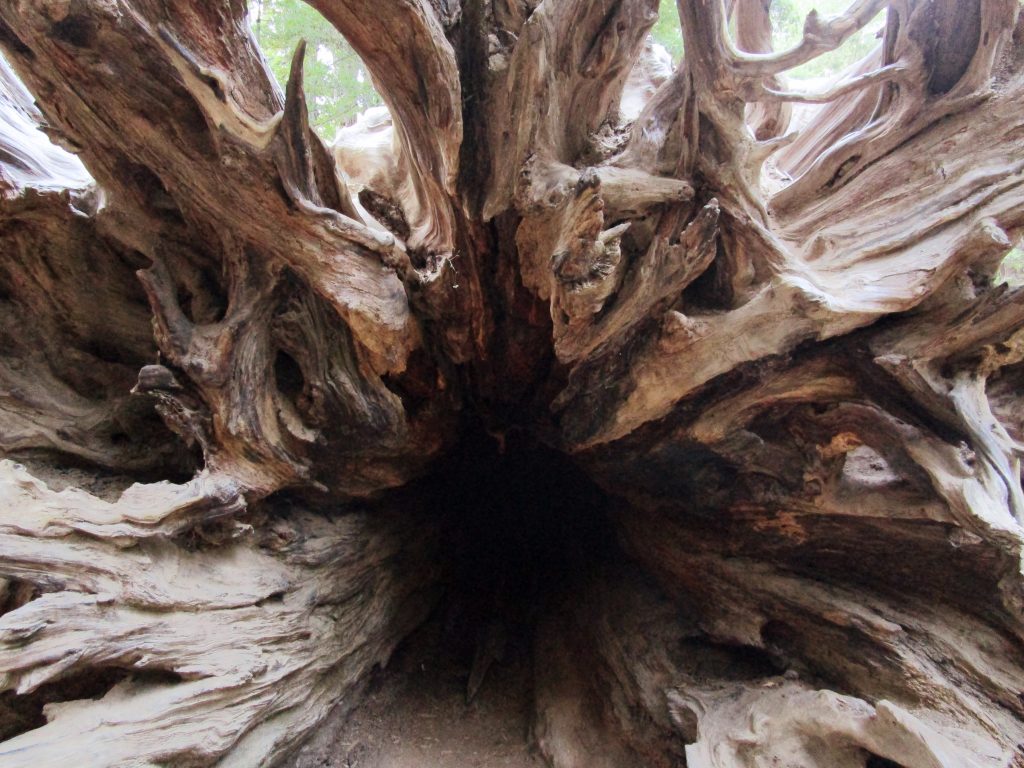
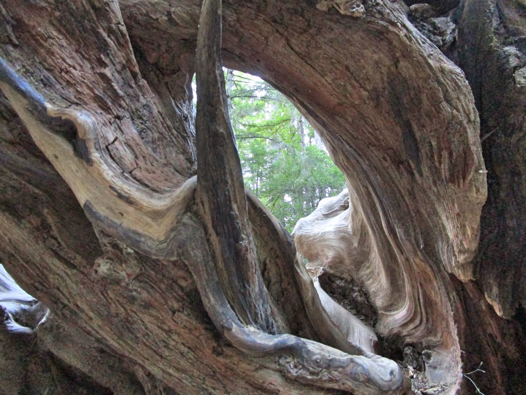
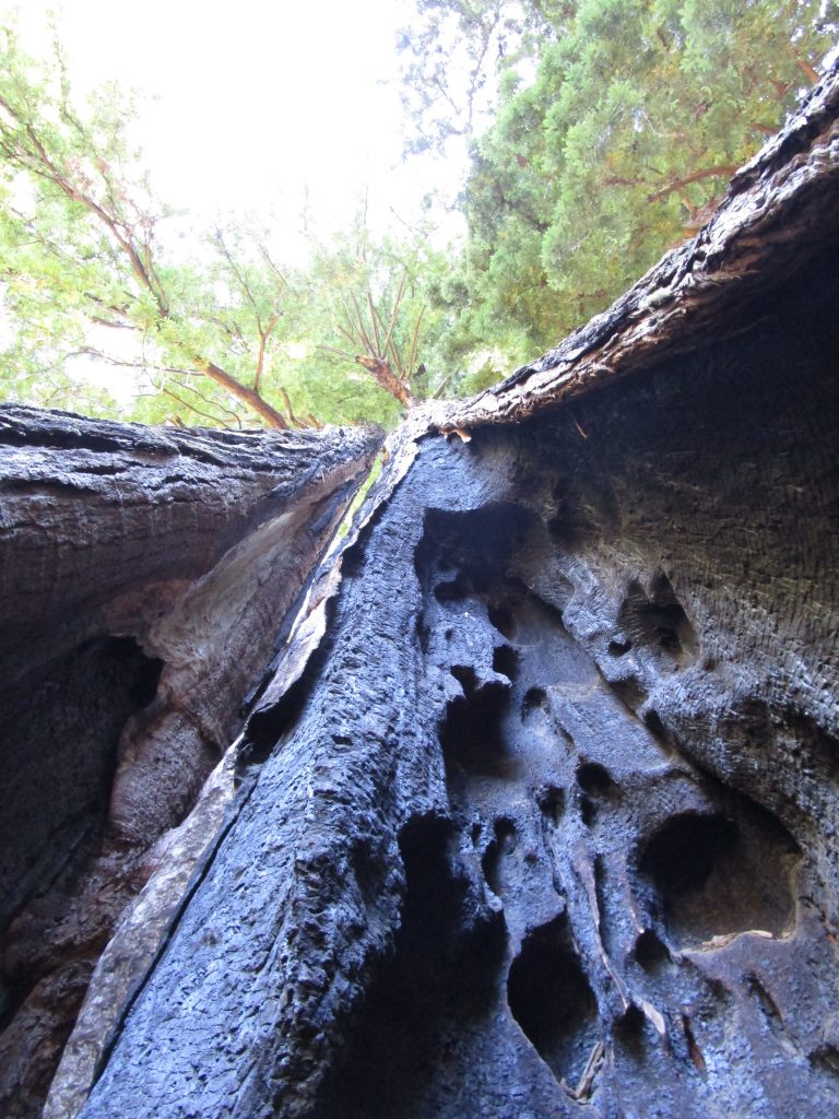
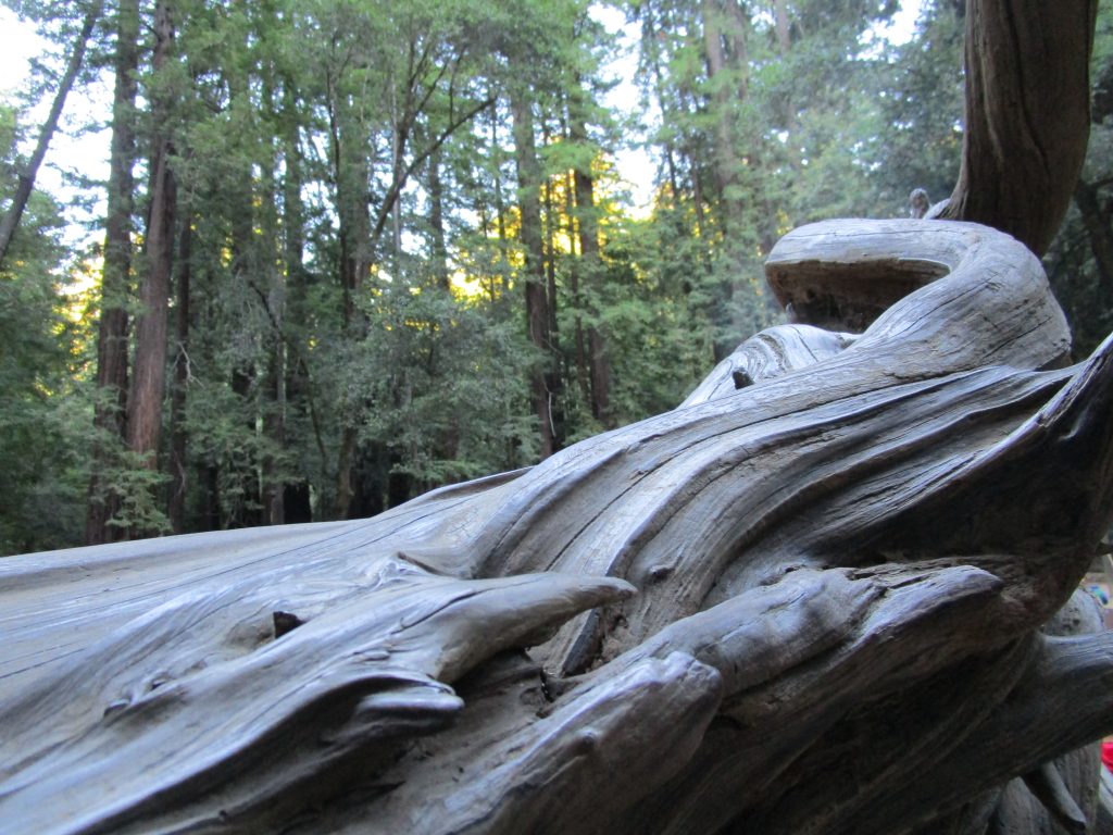
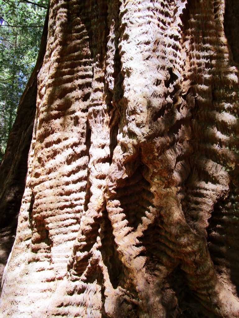
Ranger programs and marshmallows.The roots of a fallen redwood tree.The redwood trees are well suited to live through years, storms, fires, and more. This redwood tree, and a few of its clones and relatives nearby, has a genetic mutation that gives its bark this wavy shape.
The park is beautiful. The trees are beautiful. The guided walk we went on added so much to the entire experience. I found myself trying to identify trees afterwards and seeing new things around me as I contemplated the life cycles of the rain forest. Also cool, I now know what a huckleberry is and what it tastes like.